Let's start by locating the house.

As you can see from this map Candeleda is about 200 Km south west of Madrid. The house itself is about 5 Km south of the town.
A closeup image of the property (outlined in black) shows, La Garganta de Santa Maria to the west, and just visible to the south is river El Tietar which feeds a small dam called El Rosarito.
The white material you can see are
 boulders, which make up the bed of La Garganta de Santa Maria (in geographical terms a "Garganta" is a gorge or a ravine (garganta literally means throat), although at this point it is actually quite flat, so neither term is all that appropriate. I'm sure there is a technical term for the flat end of a ravine, but I'll leave that up to the geologists among you to let me know what it is).
To give you an idea of size, our house is approximately 500m north of the river, there is a dirt road that leads to the junction between the river and the Garganta, we actually go swimming there in summer.
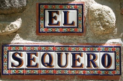
This is a topographical map of the property, it shows the house, the black object in the top center of the property and a real sequero (more on that in another issue) in the bottom left corner.
 As you can see the property is in the shape of a "B". The top half of the "B" is where we spend most of our time, we let a local goat herder use the lower half for his goats. Hopefully we will finish fencing this part soon and that will allow us to plan trees there.

No comments:
Post a Comment